Starshot: accurate and interference-free navigation on land and sea
Most modern navigational solutions requires a radio signal, and all radio signals are subject to compromise. Our solution is a combination of ancient astro-navigational principles with modern computational and sensor technologies.
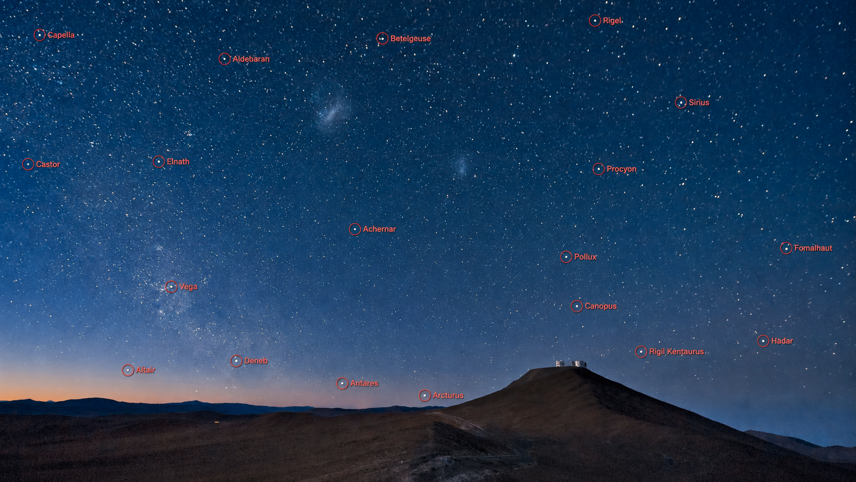
Starshot automatically captures and identifies navigational stars without user input.
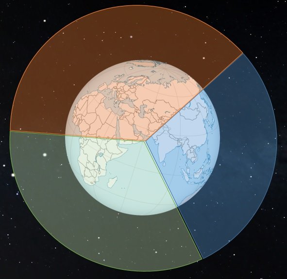
Starshot finds the intersection points from stars to calculate position. It can determine position from hundreds of stars in seconds.
Current implementation
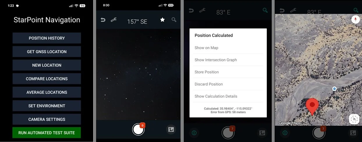
Currently Starshot is implemented as an Android app, using the phones camera and sensors. Each sighting is compared to the position derived from GNSS. Accuracy is typically 50 meters to 500 meters.
Future implementation
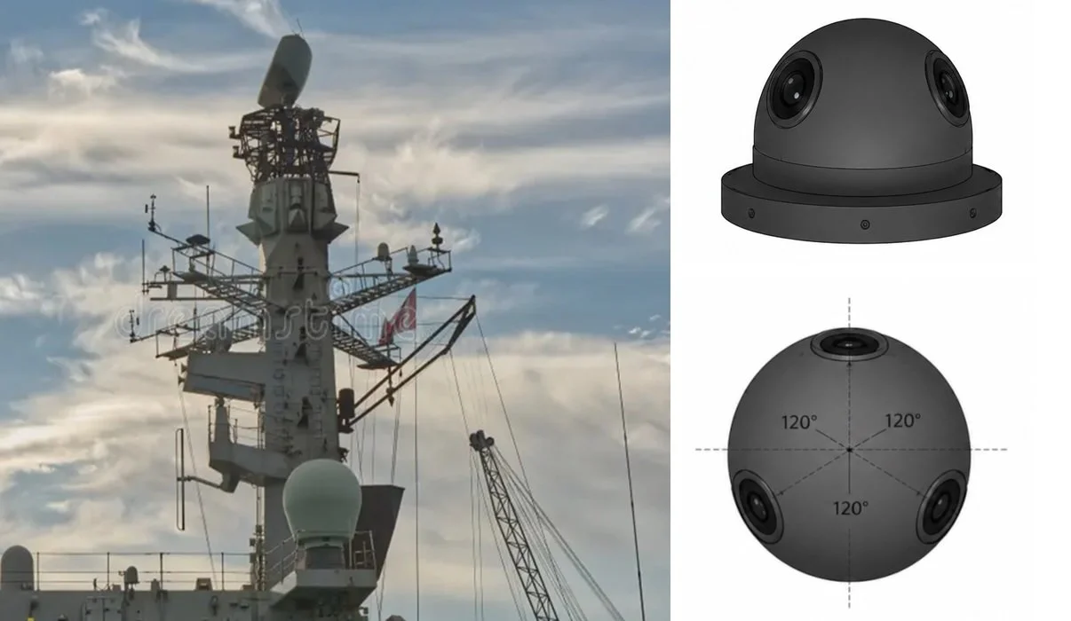
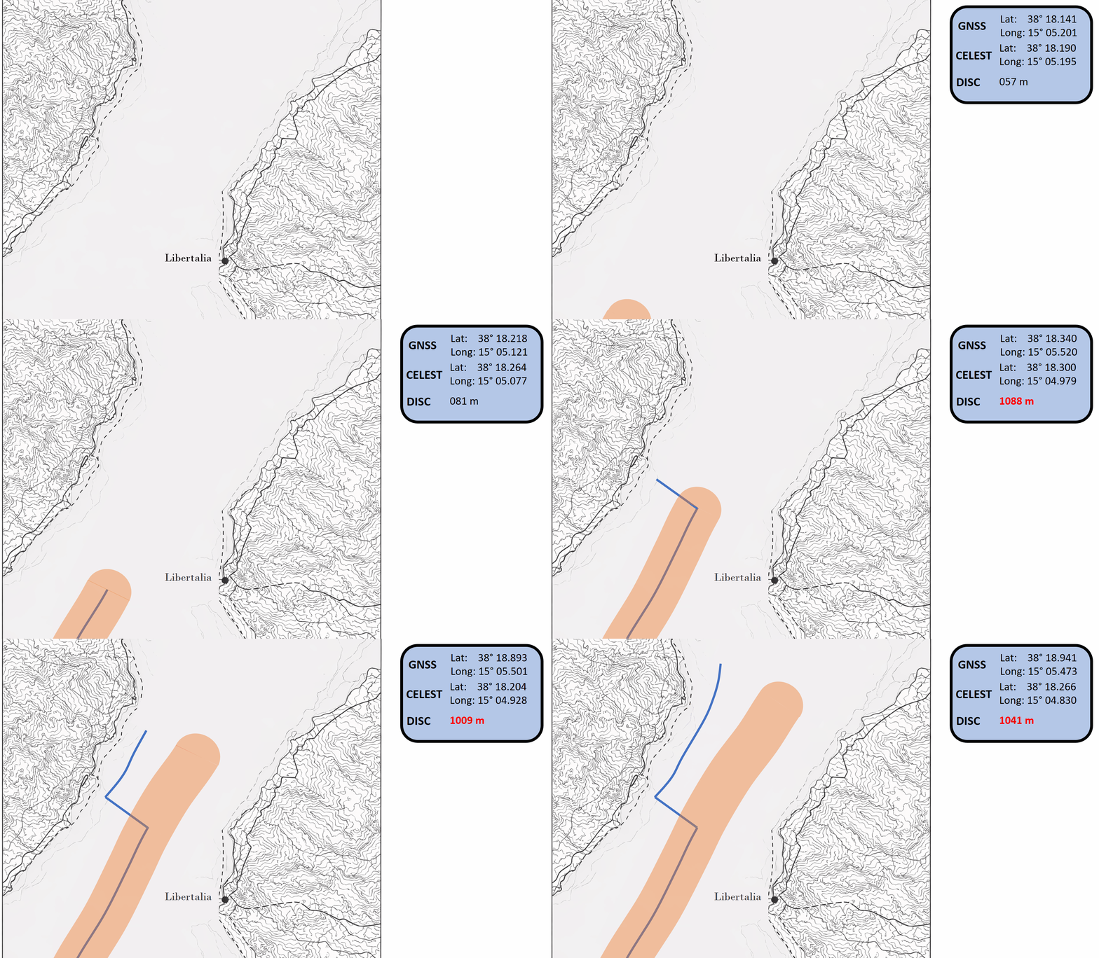
Starshot is ideal for use on a ship, with a permanent sensor mount on a mast or antennal structure. It can provide a real-time check of GNSS location data and signal when GNSS data are compromised.
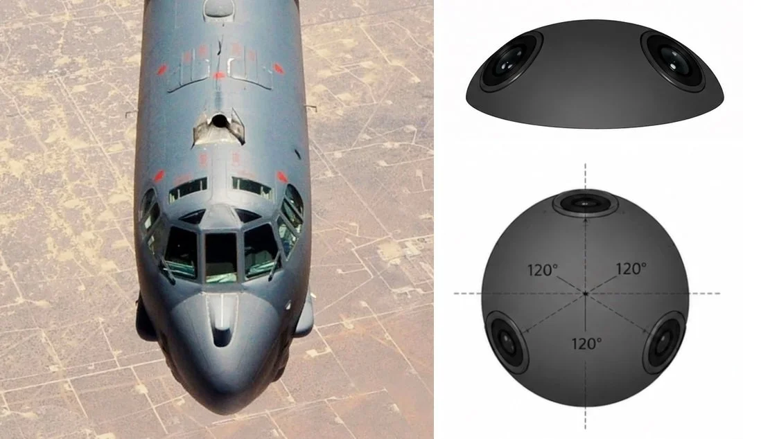

Starshot is also well-situated on an airplane flying long-distance above cloud cover.
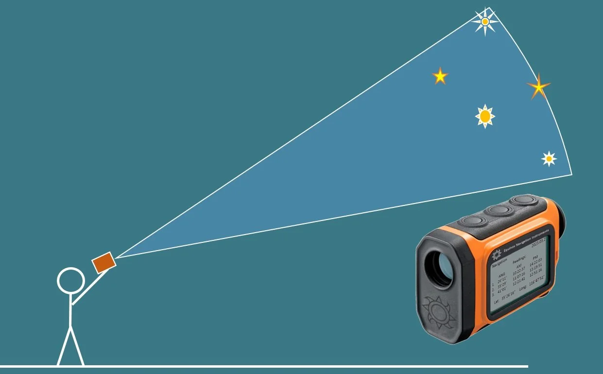
Portable terrestial applications would give ground personnel a regular check against GNSS interference.